
Half way up El Castillo at Xunantunich
Yesterday, May 26. 2013, Yvette Burks and her daughter, Jess, took us on our first outing outside of the city! What a wonderful day with the perfect hosts!
We left the city about 8:30 AM, driving in Yvette's car (not Rattletrap!) on the Western Highway, headed for the Cayo District. The trip takes you along the lowlands dotted with palmettos. The landscape is pretty flat with hills seen in the distance. (Interestingly, many of the hills are smaller than several years ago, as they have been quarried for road building.) Small villages are on the highway, including Hattieville. Hattieville was built after the Hurricane Hattie in 1961when the area was used for evacuation and "temporary" shelters were built. Many people chose to stay inland and created Hattieville.
Along the Western Highway, one passes the Belize Zoo, which will be a destination for us on a later date. It has a reputation of being an excellent zoo, with a jaguar, a native cat seldom seen (though a friend of Yvette saw one cross the Highway not long ago.) And we passed Guanacastle Park, which is a bird watching area.
We also passed Belmopan, the current capital of Belize, founded again after Hurricane Hattie. Then a number of turnoffs to resorts began appearing as we entered a more hilly region. We went through San Ignacio, arriving in a couple of hours at the ferry in Succotz where we crossed the Mopan River.

After crossing the river, we drove a short distance with a guide along with us. We climbed up to the entrance to the Xunantunich Archeological Site. The guide shared information (though I think that Yvette and Jess were equally, if not more, informed, but we felt good about supporting the local economy at the beginning of the low season). Xuanantunich was founded by the Mayans somewhere between 600 and 400 BC and disappeared around 1000 AD. Belize is filled with ruins, many yet undiscovered in the jungle. This site continues to be excavated. Many years ago when it was first discovered, someone used dynamite to enter the ruins, probably in search of jade. (Reminds me that even today such disregard for culture continues since Noh Mul was damaged extensively since we've arrived by someone using the stone to build a road!?!) Xunantunich looks like many of the sites that we saw in the Yucatan with plaza and temples and stellae and a ball court! Some of the friezes have been recreated with fiberglass to preserve the walls that would crumble away. Once arriving at the top of El Castillo, one can see the mountains of Cayo and Guatemala, too! Absolutely beautiful! Below are some pictures taken on our tour.


This lower picture is of Guatemala from the top of El Castillo. One day, we may go beyond the Belize border to Guatemala--it is so close! In fact, Dave may fly there soon. (I love the picture of Jess that her mother took!)
The next two pictures are first, of a termite nest, and second, of a Mahogany tree.


We also saw Howler monkeys in the trees, but they are really difficult to capture in a photo! I have a picture or two, but I'd have to point to them for you to make them out! They live in troops of 5-9 monkeys, and we saw two troops while there.
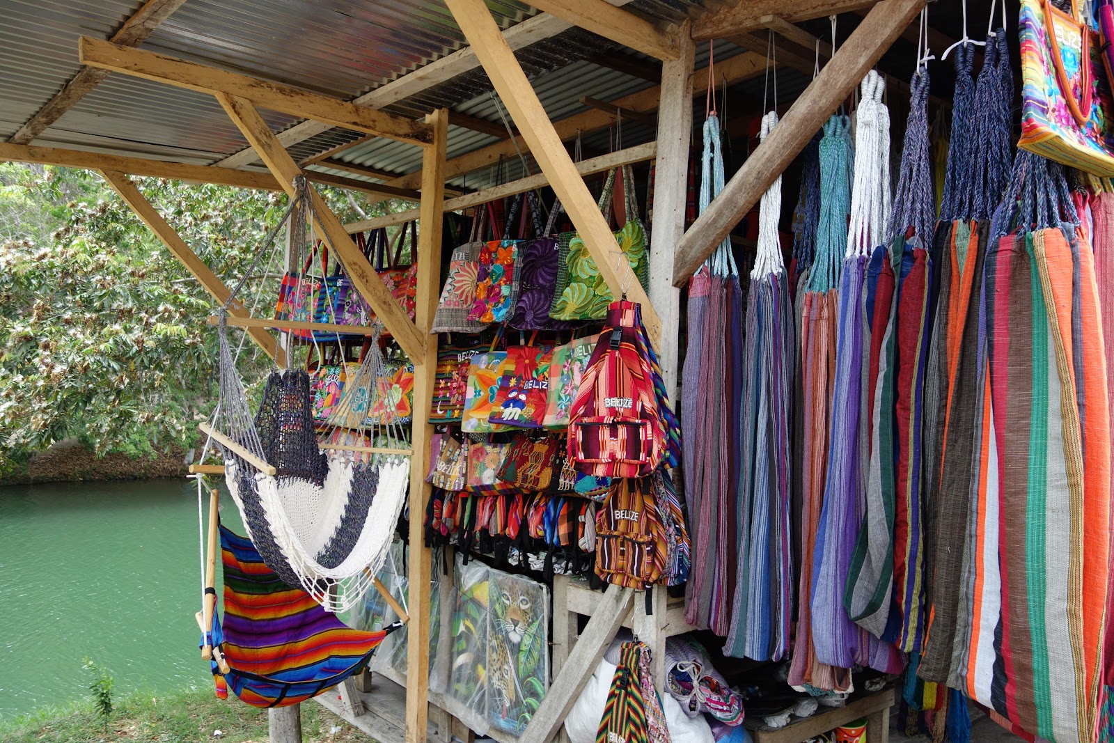
After leaving the park, I made a stop at the kiosks of local artisans. I found a wonderful table runner (picture shown after putting it on my table) and a colorful bag to carry lots of stuff (including my umbrella)!

After leaving the Xunantunich area (I do love saying that word!), we returned to the San Ignacio Hotel & Resort, which won resort of the year last week. It is a beautiful hotel, and interestingly, it has the iguana rehabilitation sanctuary attached, as well as a medicinal herb walk. We stood on the balcony, looking for Toucans, but none appeared. We had a wonderful, huge lunch (with dessert--coconut pie)! Being on the lookout for that MahJongg tournament site, this would be a beautiful spot! I took several pictures, and here is one of the balcony overlooking the pool.

We stopped briefly at Orange Gallery, which is a large gift shop with many local art works. The wood working, known in the Cayo District, was amazing! We needed a cutting board, so Dave found a beautiful, heavy one--looks too beautiful to use, but we are going to!
Our final stop was at the home of a friend of Yvette. He lives on a large estate with a beautiful two-story house. We sat on the veranda overlooking the pool and overlooking a spectacular view of Spanish Lookout! Spanish Lookout is a Mennonite village. When they came to Belize in the 1950's, they made an arrangement with the government to be self-sufficient, not paying taxes to Belize. They are a self-contained group with people paying dues to the local government, following rules of the local village, etc. They cultivate thousands of acres in pinto beans and corn (alternating) and more, and they produce the majority of dairy and chickens for the country. There are some other franchises owned by the community, such as Caribbean Tire. They have created a very successful venture!
These last pictures show the plowed fields from Jack's balcony and a ficus in his yard! It was once a house plant! Note the roots!


The drive home in dusk and dark was through constant rain and some heavy rain! We avoided getting terribly wet during the day, but it is clear that my judgement has been altered...I walked out of the Orange Gallery and thought it was cold! (Okay, that was perhaps an exaggeration!)
I hope you in the US are having a good Memorial Day holiday while we celebrate Commonwealth Day! A very quiet, drizzly sort of day here!
Beyond awesome!! And Belize suits you, you look wonderful!
ReplyDelete